All posts by DaRoad Tripper

ALCAN HWY – Day 1 – Dawson Creek to Fort Nelson

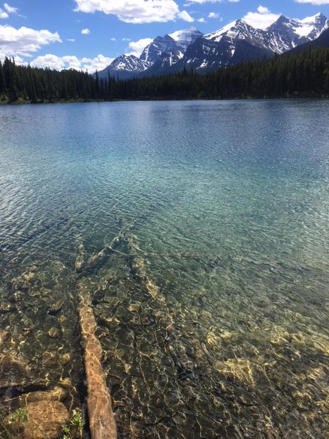
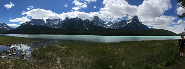
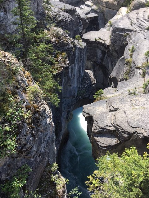
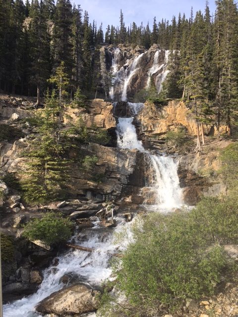
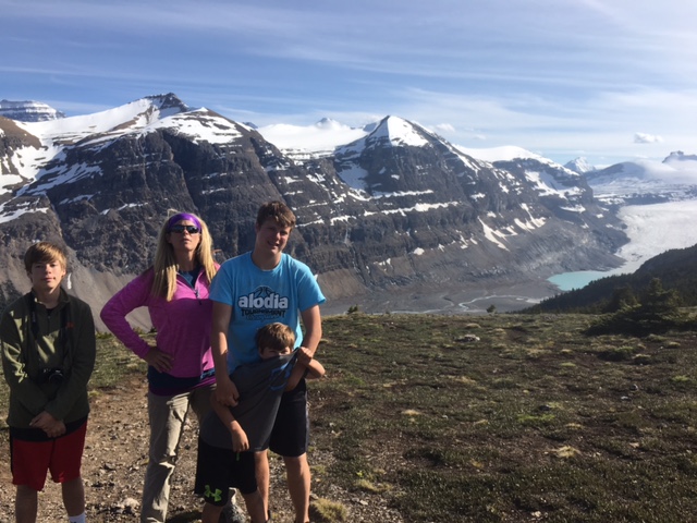
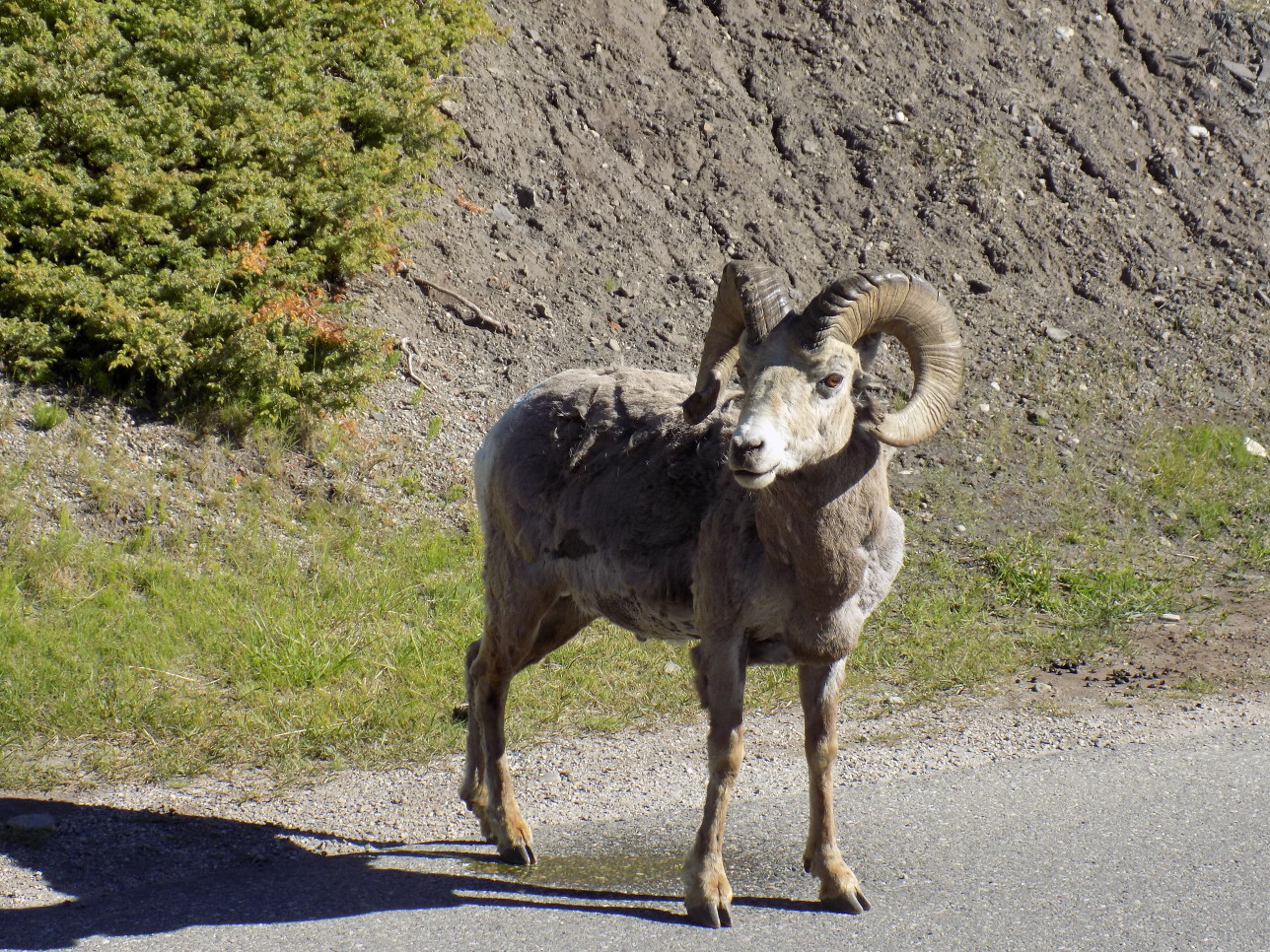
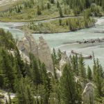
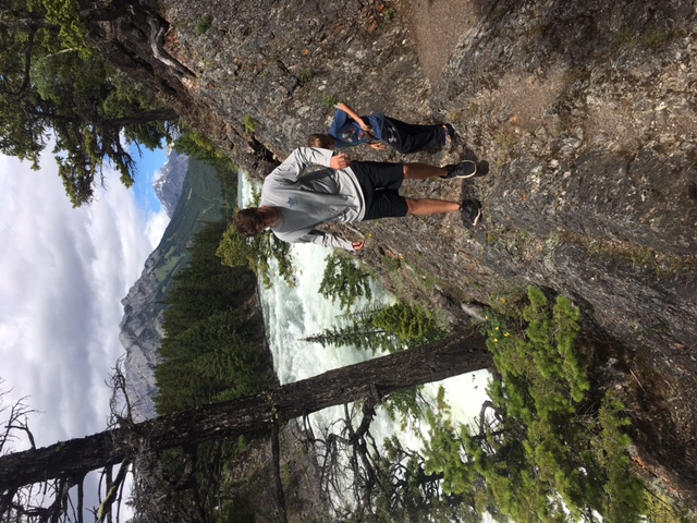
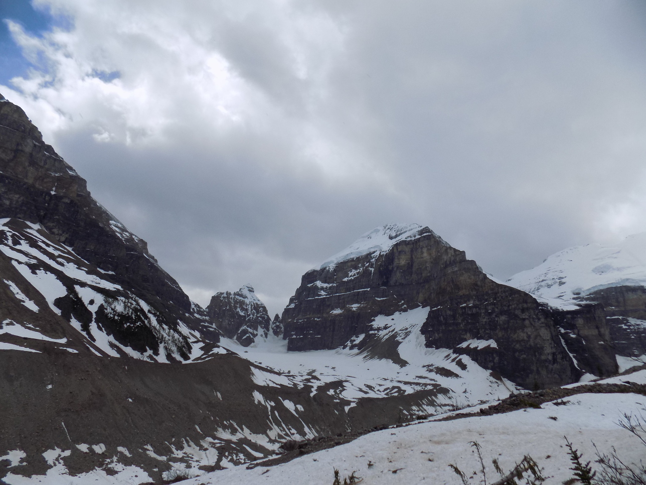
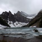
We spent several days in Banff, Calgary, and Jasper and then headed to Hinton, Alberta.
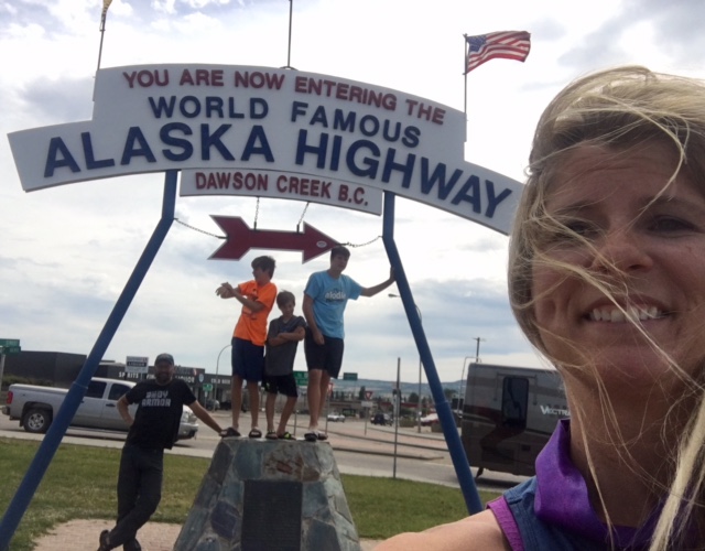
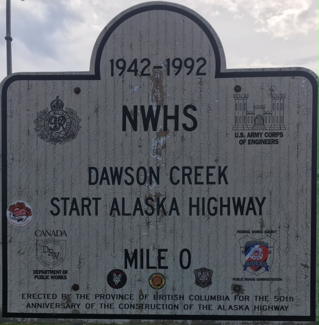
We drove from Hinton to Dawson Creek to start the ALCAN at mile 0.

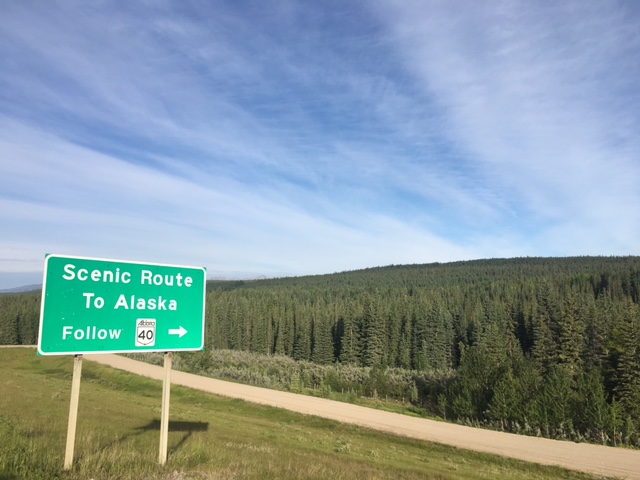
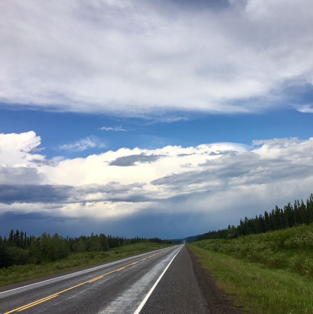
The first day on the ALCAN was a bit uneventful overall.
Dawson Creek was pretty cool.  Lots of history about the ALCAN. For example, 10,000 workers built the Alaska Highway in 1942 in merely 8 months! We are really grateful that they did. It’s a beautiful continent we live inhabit.

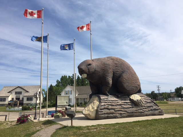
There was literally nothing on the ALCAN other than a giant beaver in Beaver Lodge, BC and lots of trees for most of day. Gas stations are sparse until you get to Fort Nelson, British Columbia.
Fill up your gas tank in Dawson Creek before you head out for Fort Nelson.

Fort Nelson is pretty small with a couple hotels, campgrounds, a grocery store, and a few food stops like A&W, but they have a movie theater, which shows one movie each day at 7 p.m. We missed it, but that is ok because we found the Canadian version of America’s Funniest Videos and it was hilarious! It didn’t get dark until after 11 p.m. and even then, it was super bright outside again by 3 a.m., so we didn’t get to see the northern lights.
Most places close down early, so make sure you have food for your evening meal if you will arrive late.

Gas up in Fort Nelson before you head out to Whitehorse as it is a long way to Watson Lake.
There are a couple gas places on the way to Watson Lake.
More on all of that when we make our ALCAN post about Day 2.

Jasper National Park, Canada

Today, we ventured off into the great outdoors of Jasper National Park. In total we only hiked about 6 miles because most of the picture-worthy sites were not far from the Ice Fields Parkway.

We saw awesome mountain lakes –

We saw waterfalls –

We saw glaciers and ice fields – We hiked Parker Ridge to see the toe of the glacier. And we learned that when you’re thirsty and you forgot to bring your own water, it’s all good if you can find clean snow. It’s super important to clean off the top layer before you put any in our mouth.

We saw black bears – lots and lots of bears

It was a very cool day.


Banff National Park, Canada

After leaving Glacier NP, we headed north of the border to Banff National Park in Canada to look for animals and attempt to get hypothermia. While driving to the park we saw Big Horn Sheep and a Grizzly bear.

Once we set up camp and went into town for groceries & dinner at Boston Pizza (horrible), we went back to camp to get rained on and turn into Popsicles. The next day we rode around the park looking for animals, hiked to the Hoodoos, the Bow River Falls, and Tunnel Mountain. In total, we hiked about 4 miles that first day.


After that we went back to camp to make silver turtles and relax by the campfire, before it started raining again and we got in our tent, Ben in his hammock, for another cold night.


Day 2 found us in search of some good hikes around Lake Louise. We found Moraine Lake, which made for a short hike, but some great sightseeing. The weather was rainy, but we made the best of it. We tried to hike to where the rain turned to snow, but there was a waterfall at the end of the civilized trail.

The next day we got out of camp early to go on a big hike, and we went by two tea houses, climbed a few snow drifts, and got caught in a snowstorm. I’ll let the pictures show you how awesome it was.  Round trip was almost 12 miles. It was so cold and it snowed on us most of the day. We wanted to hike to the Beehives (both of them), but the Wilverine was revolting, so we had to keep promising him & tea and biscuits.

After that hike we went back to camp and made tacos, then sat by the warm fire until the sun disappeared and the stars came out, around 11 p.m.

Manitu Incline – Colorado Springs, CO

Well, this was a fun morning.

We tackled the Manitu Incline just outside of Colorado Springs, CO.

It was a blast, but pretty tough as you go up over 2000 feet very quickly.

Ben says it was horribly awesome.  He hated quite a bit of it, but was super proud once he made it to the top.  The news of a 3 mile hike down was a bit of a shock, but he had a blast.

Elgin, Oklahoma (aka Home of the Coyles)

Elgin was a really good first stop for our annual summer trip, and we got to see our good friends the Coyle’s


We spent the first day hiking in the Wichita mountains, until we went a place to eat where I ate about 2/3 gallon of ice cream. Then we watched the last Finals game (I really hate Stephen Curry), and I was very disappointed in Jebron Lames. The next day we went swimming in Lake Lawtonka and then in Medicine Creek, where we saw a water moccasin and Wyatt freaked out(JK).


We didn’t want to leave, but we did have to move on if we want to make it to Alaska.

Backpacking to Emerald Lake – Sequoia National Park

We set up our base camp at Dorst Creek and then hiked out all over the park.  As a group, we got in over 30 miles in the four days we were in Sequoia National Park.

One of our most favorite trails was our backpacking trip to Emerald Lake on the Lakes Trail.

Emerald Lake - Sequoia National Park
Emerald Lake – Sequoia National Park

Step one, we went to Lodgepole Visitor Center and put in for a Wilderness Permit.  Step two, we packed our packs and headed out on the trail.
The Lakes Trail is about 15-17 miles depending how much wandering you do.  We wandered all over and got in about 15 miles.
Elevation change for Emerald lake is about 5000 feet.  You start at 6800 and go up to 9200 or so.  It is a tough hike to the lakes.  The trail gets very steep at times and it is quite challenging.
Our group consisted of one old man [our dad], our mom, and us – 13, 11, and 5 years of age.
Yes, a 5-year-old did backpack the entire trail with a pack.

Loaded packs
Loaded packs

IMG_7104

Starting off was pretty easy.   The Wilverine had to stop for gummy bears quite a few times.

IMG_7117

We stopped for lunch on the way up at the watchtower.  Take the watchtower trail; do not take the hump trail.  The views on the watchtower trail were spectacular and the elevation was not nearly as extreme.

IMG_7135

IMG_7138

After the watchtower, the trail gets very rocky and narrow.  If you look over the edge of the trail, the valley bottom is a long way down.

IMG_7167

IMG_7163

The first lake you encounter is Heather Lake.  Next up is Aster Lake and then Emerald.  The last lake is Pear Lake.

Heather Lake
Heather Lake

IMG_7243

Getting water from the stream

We camped at Emerald Lake and were the only people in the camp.   We saw only a few people the entire time on the mountain and it was awesome.

IMG_7202 IMG_7203 IMG_7233

If you are in the area and have a chance to hike or backpack the Lakes Trail, we encourage you to do it.  It was a really cool trip.

Sunset over Aster Lake
Emerald Lake
Emerald Lake

What a cool lake with spectacular views.


Hiking the Big Tree Trails – Sequoia National Park

We love us some big trees and there is simply no better place to see big trees than Sequoia National Park’s Giant Forest.
We hiked all over the Giant Forest and spent time with General Sherman, the Congress, the Senate, and the President. We also saw many other giant trees like Chief Sequoya. Although the Wilverine complained about hiking the whole time we still had fun. What a cool place!

Giant Forest here we come.

General Sherman is a huge tree.  Sherman is the largest tree in the world. The Wilverine says “it is the fattest, reddest tree I have ever seen and it got struck by lightning, which is why the top quit growing. If you go here, you are going to see a big fat red tree that does not grow at the top. It is a really cool tree and you should go see it.” My mom says it’s like a human because it has quit growing up, but is still growing out.

General Sherman
General Sherman

On the Congress trail, you can see the Senate, the House, and the President. The Wilverine says “the President was huge. That is it.”

The Senate
IMG_7046
The Senate
The House
The House
The House
The House

Giants are everywhere in the Sequoias. Chief Sequoyah and the McKinley tree were massive.

Big fat red tree
Big fat red tree

We are running our base camp from Dorst Creek Campground, site number 65. It is a walk-in tent only site and it is the best site ever. We have access to the river and can run free without bothering anyone.

Sequoia Base Camp
Sequoia NP Base Camp
IMG_6925
Sequoia NP Base Camp

We are backpacking as well and will post about our trip to Emerald Lake later. It is a 15-mile round trip backpacking trip with almost 5000 feet of elevation change.  Hard core!

The Wiliwilinui Ridge Trail in Oahu

Wiliwilinui Ridge Trail in Oahu

The condo our parents rented in Oahu was awesome.  We will post information about the VRBO experience and about the condo we used in the Waikiki Lanais in a separate post.  The owner, Sana, was awesome and really made our stay great.

Our parents asked about hikes and Sana suggested the Wiliwilinui Ridge Trail.

We are a hiking lot with 5 seasoned hikers and backpackers so off we went.  The youngest brother in our group of 3 is Big Willie or the Wilverine as he likes to call himself.  We had to do a trail of the same name.

Here is a map of the trail from Google.  You will take Laukahi Street from H1 / 72 going east from Waikiki or Honolulu.  It is easy to find and very near Diamond Head.  You will drive for what seems like days and finally reach a guard station.  The trail head is located in an upscale gated neighborhood.  We felt very comfortable leaving our car.

Guard station

The guard was super nice and gave up a parking sign for our car, after scanning my mom’s ID.

Parking pass
Parking pass

There is a parking lot at the trail head and plenty of parking.

Wiliwilinui trail head

IMG_6016

The trail starts off pretty calm and for about the first 2 miles, it is scenic and calm.

First leg of the trail

Yonder stance in action

There were some amazingly large trees on the trail.

Hiding in the trees

Giant tree
Giant tree

The last half mile is roughly 700 feet of straight up incline.
Wilverine is only 5 and he hiked the whole thing, while persistently chattering about the geneology & hierarchy of Bionnicles. (That was fun…)

Starting the stairs of doom

We were bouldering and rock climbing with ropes for much of the 700 feet.

Getting steeper
Getting steeper

Ropes were needed

View from near the top
Made it up and heading back down.
Heading back down the ridge

IMG_6185

There is a cool swing at the 1/2 way point.

Don't miss the swing
Don’t miss the swing

It was fun and every one of us survived, but it was tough.

View of Waikiki from the top
Fog rolling in at the top

The entire hike was about 5 miles and it took up easily 4 hours.
We took a few breaks, but this hike takes a while.

Was it worth it?  For sure.
This was our top hike in Oahu.
We hiked Diamond Head, Koko Head, Makapu’u Lighthouse, and the Manana Trail to the Waimano Falls/Pools.
If you are in Oahu, make time for the Wiliwilinui hike.

Hiking the Diamond Head Crater Trail in Oahu

We hiked the Diamond Head Crater trail a couple days ago.  It was  a really fun hike.  It only takes about 2 hours total and the hike is barely 2 miles.  The total elevation change going up and back down is 1520 feet.  760 feet up and 760 down.  Lots of people were on the trail of all ages so make sure you do not miss out if you’re in Oahu.

Getting ready to hike

We posed for a group pic before filling up water bottles and heading to the trail.

On the trail
On the trail

The trail starts off paved and then turns to rocks and some boulders.  It is a clear trail that is well marked with rails.  It is very safe even for little people.

Nice trail
Nice trail
A little people
A little people

There is one section where you go through a cave, up a couple hundred stairs, and around a spiral staircase.  We liked this so much we did it twice and ran up the stairs.  Macho!

View from the cave
View from the cave
Fun stairs
Fun stairs
Spiral staircase
Spiral staircase

The views from the top were spectacular.  You get a stamp if you make it to the top.  You must bring a receipt or a map along with you.  You can also buy a certificate at the top for five dollars.

Me and my stamp
Me and my stamp
View from the top
View  of Honolulu from the top

What an awesome hike.  We ran down to get in an extra workout.

IMG_5824

Off to the Makapu’u Lighthouse Trail for more hiking.

Surfing with Hawaiian Oceans Waikiki

Today we decided to go surfing with Hawaiian Oceans Waikiki.

_MG_6880

JP was our coach and he did an outstanding job. He told me to go straight, then turn left, then turn right, then move up 3 feet, go back 4 feet, jump 3 times, all while looking super cool. I did it all with style.

_MG_7155

Ben is hanging ten or attempting to hang ten. Ben has style, but not as much as me.

_MG_7060

We both had a blast riding the waves all the way to the beach. Don’t we look macho!

_MG_7052

Here we go.

_MG_6992

I had a ton of fun learning to wipeout!!!!!

_MG_6879

The Wilverine is not pictured, as he had a melt down and did not get to surf.  He is going to try another day.

Waikiki is a great place to surf and Hawaiian Oceans Waikiki will get you coached up.